


Page 5 - 2417
P. 5
Original Article  |  Open Access

                                          Carbon Footprints


                                        Corsini et al. Carbon Footprints 2026, 5, 34      DOI:10.20517/cf.2026.08


               Risk-adaptive conservation zones: integrating
               degradation vulnerability into spatially explicit
               carbon crediting


               Christianne Corsini 1  , João Chaib 1,2  , Michael Davies , Danilo Centeno 3  , Raul Feldmann , Hongjun
                                                                                             1
                                                              1
               Wang 1
               Keywords:
               Deforestation, edge effect,
               exponential decay model,
               fragmentation, nature-based
               solutions, landscape
               ecology, REDD+, spatial
               modelling

               Citation: Corsini, C.;
               Chaib, J.; Davies, M.;
               Centeno, D.; Feldmann, R.;
               Wang, H. Risk-adaptive
               conservation zones:
               integrating degradation
               vulnerability into spatially
               explicit carbon crediting.
               Carbon Footprints 2026, 5,
               34.
               https://dx.doi.org/10.20517  Abstract
               /cf.2026.08
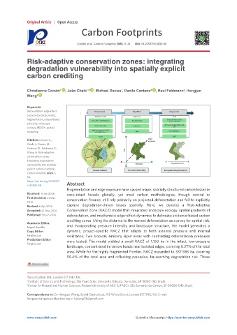
                                   Fragmentation and edge exposure have caused major, spatially structured carbon losses in
               Received: 19 Jan 2026  once-intact   forests   globally,   yet   most   carbon   methodologies,   though   central   to
               First Decision: 23 Mar  conservation  finance,  still  rely  primarily  on  projected  deforestation  and  fail  to  explicitly
               2026
               Revised: 6 Apr 2026  capture   degradation-driven   losses   spatially.   Here,   we   develop   a   Risk-Adaptive
               Accepted: 22 May 2026  Conservation Zone (RACZ) model that integrates landscape ecology, spatial gradients of
               Published: 30 Jun 2026  deforestation, and mechanistic edge-effect dynamics to delineate evidence-based carbon
                                   crediting zones. Using the distance to the nearest deforestation as a proxy for spatial risk,
               Academic Editor:    and   incorporating   pressure   intensity   and   landscape   structure,   the   model   generates   a
               Miguel Brandão
               Copy Editor:        dynamic,   project-specific   RACZ   that   adapts   to   both   external   pressure   and   internal
               Fangling Lan        resistance.  Two  tropical,  similarly  sized  areas  with  contrasting  deforestation  pressures
               Production Editor:  were   tested.   The   model   yielded   a   small   RACZ   of   1,150   ha   in   the   intact,   low-pressure
               Fangling Lan
                                   landscape, concentrated in narrow bands near isolated edges, covering 0.27% of the total
                                   area. While for the highly fragmented frontier, RACZ expanded to 337,985 ha, covering
                                   99.4%   of   the   total   area   and   reflecting   pervasive,   far-reaching   degradation   risk.   These


               1 Social Carbon Ltd., London E17 3NU, UK.
               2 Institute of Science and Technology, São Paulo State University (Unesp), Sorocaba, SP 18087-180, Brazil.
               3 Center for Natural and Human Sciences, Federal University of ABC (UFABC), São Bernardo do Campo, SP 09606-045, Brazil.

               Correspondence to: Dr. Hongjun Wang, Social Carbon Ltd., 195 Wood Street, London E17 3NU, UK. E-mail:
               hongjun.wang@socialcarbon.org or hjwang78@gmail.com


               www.oaepublish.com                                    Submit a Manuscript: https://ucenter.oaepublish.com

